Mount Everest has captivated intrepid men and women since the 1920s. The exploits of legends such as George Mallory, Sir Edmund Hillary and Tenzing Norgay put the mighty mountain on the map; thousands have followed, making huge sacrifices – many with their lives – in their own attempts to the summit.
But today, the trek to Everest Base Camp has become an achievable goal for people from all walks of life who want a glimpse of the world’s highest peak. In 2012, between 35,000 and 37,000 people trekked in the Everest region.
Understanding Mt. Everest Base Camp Trek
Famous for its spectacular mountain peaks and the loyalty and friendliness of its inhabitants (the Sherpas), the Everest region (Khumbu) is one of the most popular destinations for tourists in Nepal. While many of the routes through the mountains are arduous, there are ample places to rest and enjoy a meal along the way. Furthermore, don’t worry about getting lost. Just ask a local the way to the next village on your route, and they will direct you. Most Sherpas under the age of fifty can at least understand basic English, and many speak it fluently.
While trekking is possible in this area the whole year round, the best times to visit are from the beginning of March to mid May and from the beginning of September to mid November. The winters are very cold and snow may make it difficult to travel higher than Tengboche, and also lodges may be closed above this altitude. Summers, on the other hand, are wet, and the spectacular peaks are often lost in the clouds. April and early May is a good time to see the hedgerows and trees bursting into bloom, with Rhododendrons, in particular, adding a spectacular splash of colour to the landscape. However, dust from the plains of India during the spring routinely provide less than ideal conditions for clear mountain views. The views are much better after the summer monsoons have cleared the atmosphere of dust, but the days are shorter and cooler.
Different Itinerary and Trekking Routes
From Nepal
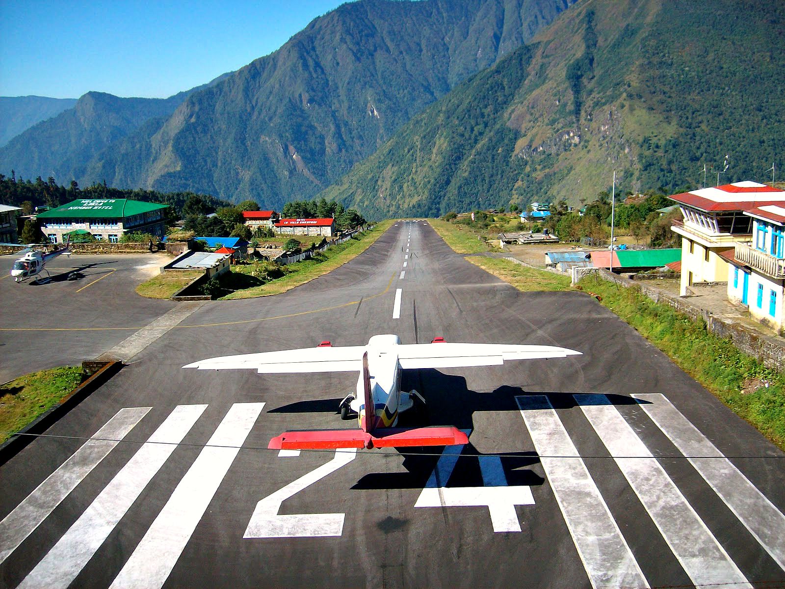
The Nepal side is the south side of Mount Everest – the most popular side for summit ascents. The Nepal side is Sagarmatha National Park, containing one of the most popular trekking routes in the Himalayas – the Everest Base Camp Trail. Trekkers usually fly to Kathmandu, then fly to Lukla at 2,840 meters, and start the 14-day trek to Everest Base Camp (EBC) and back.
From Tibet
The China or Tibetan side is the north side of Mount Everest. For foreign travelers, a Tibet Entry Permit and Aliens’ Travel Permit are required by the Chinese government before being allowed into the area. Foreign travelers are required to travel to Mount Everest on a Chinese travel agency itinerary with a Tibetan tour guide. There are also shorter EBC treks on the Tibetan side, which start at either Old Tingri to EBC, or from EBC to the Advanced Base Camp (ABC), at 6,500 meters. The trek from Tingri to EBC is four days long, while the EBC to ABC trek is five days.
Itinerary
Everest’s daunting summit soars so high that trekking to its base camp (17,590′) is still an adventure of the highest sort. You can join any Associate Members of Trekking Agencies’ Association of Nepal (TAAN) on a 14-day Himalayan trek to Everest’s Southern Face Base Camp through some of the world’s most spectacular mountain scenery. Spend two days discovering the historic treasures of Kathmandu. Stay in villages set against soaring, jagged pinnacles; get to know the unique culture of the Sherpas; and walk trails lined with mani stones, engraved with Tibetan Buddhist prayers. Discover remote mountain monasteries and learn about the Sherpas’ spiritual perspective on the mountains they call home.
Day one – Lukla airport (about US$115 from KTM) to Monju (2800m): Pass directly through the village of Lukla (there is no compelling reason to stop here, though it is a good place to have breakfast/lunch.) and follow the path to Namche.
There will no doubt be a string of porters carrying goods up to the Sherpa capital, so the route is easy to locate. The first village after Lukla is Chheplung, and further down the trail, you will pass through Ghat and Phakding. Both these villages have a good selection of lodges and restaurants and are conveniently located for taking a meal break. However, if you still have enough stamina, it is advisable to press on to Monju (about 90 minutes to two hours from Phakding) to spend the night as this will give you a good start for the steep ascent to Namche the following morning. Lukla to Monju 6 miles and 6.5 hours.
Day two – Monju to Namche:
After passing through the Sagarmatha Park entrance (1,000rs for overseas visitors), the trail passes through the village of Jorsale and then along the river. You will cross two bridges before beginning the steep ascent to Namche, which can take up to three hours to complete.
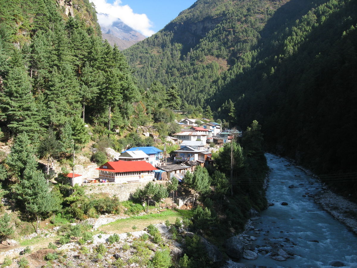
Be aware that there are no tea houses or lodges on this path, so ensure that you have ample water to get you to the top. In addition, you are now heading into a high altitude area, so take it easy. Even the fittest people are prone to altitude sickness. Monju to Namche 3 miles and 3 to 4 hours, almost all uphill.
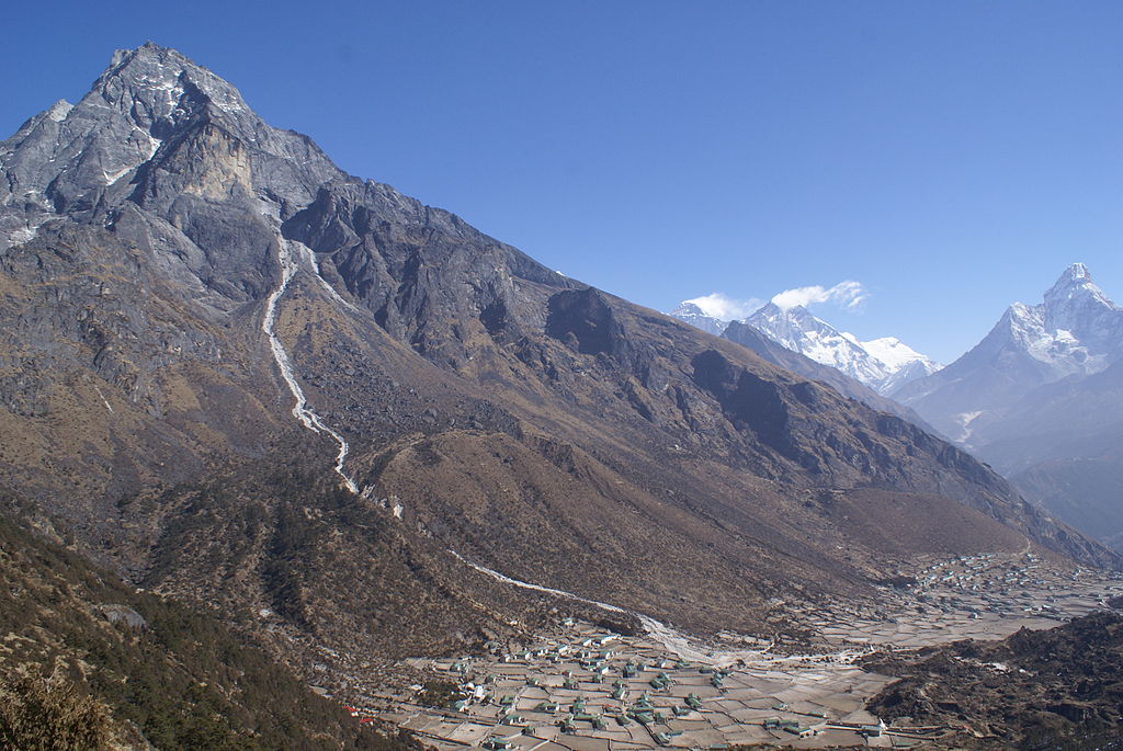
Days three and four – Namche Bazaar (3440m):
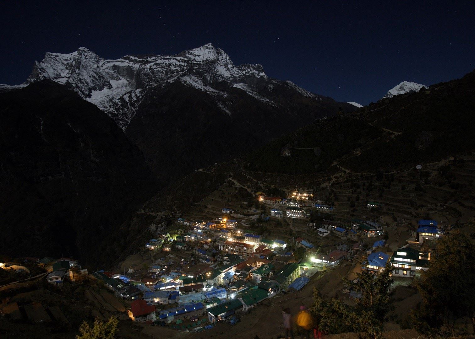
It is recommended to take an altitude acclimatization rest day in Namche. Although no more than a village, the Sherpa capital has two museums, several internet cafes, and, at last count, two pizza houses and three cafes (locally known as bakeries), so there is much to keep you occupied during your stay here. Namche also has two official money changers, so it is a good place to stock up on local currency for the days ahead (NB: Lodges and restaurants in Khumbu only accept Nepali Rupees). There is also a reasonable selection of English books, though the prices are higher than in Kathmandu.
During your acclimatization rest day, you might like to visit neighboring villages. Khumjung (3790m) is over the hill directly behind Namche, and takes about one and a half to two hours to reach. There are several sights in the village (See listings below) and a few lodges and eateries.
Khunde is a short walk from Khumjung. Getting there: Take the Tengboche trail, then at the top of the hill above Namche, near the huge mani stone and just past the bank, head straight up the mountain – the wider path to the right goes to Tengboche. After a steep climb, you will arrive at an airstrip. Cross this and rejoin the path at the other side. After a short distance you’ll pass a stupa. From there, take the paved path down the hill. Soon you will see the playground and school buildings of Khumjung Hillary School.
Thame (3750m) is a more traditional village that is about a two and a half hour to three hour walk from Namche. Getting there: Leave Namche on the path that passes the ochre coloured Namche Monastery (Namche Gompa). From here, it is a relatively flat walk that takes in some very pleasant scenery. The first hamlet on the route is ‘Phurte,’ identified by the forest nursery, and then ‘Tesho.’

The water that runs through ‘Tesho’ comes directly from ‘Mount Khumbi Yui Lha’ – the most sacred mountain to the Sherpas – so there are several retreat huts built into the niches here. Thame is the next village on the trail, and a good place to take lunch. Thame has a few lodges and is home to one of Khumbu’s oldest monasteries.
This trail is also the traditional route to Tibet, so don’t be surprised to encounter caravans of yaks led by long-haired Tibetan merchants on your walk.
Day five – Namche to Tengboche (3870m/12696ft):
After a short but steep climb out of Namche Bazaar, then walk on a fairly level trail to the villages of Kenjuma and Sanasa. Here there are extensive displays of souvenirs to tempt you and food and drinks. The Ama Dablam Lodge in Kanjuma has some good food and the sitting area out front offers uninhibited views of Ama Dablam.
In addition, the lodge reputedly has the best selection of jewellery for sale in the whole of Khumbu, so if you don’t plan to return this way, pick out a few light souvenirs – they will forever remind you of this sun-blessed place and the sparkling snow capped peak of Ama Dablam. After a short while, the trail descends to the level of the Dudh Koshi River, and you will pass a few hamlets and cross several bridges. Then at the hamlet of Phunki Thanga (marked by its water driven prayer wheels), the trail ascends steeply. There are no tea houses or lodges on this stretch, so take some refreshment in Phunki Thanga and stock up on water for the one and a half to two hour climb to Tengboche.
NB: Take it easy going up here. The air is thinner than you are aware! You want to avoid mountain sickness.
Day six:
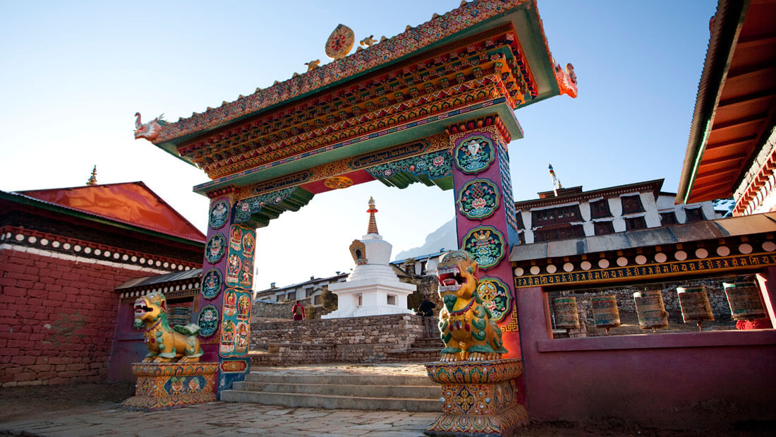
For those heading for Everest, the trail passes through the villages of Deboche (here, there is a small nunnery on the left – definitely worth a visit), Pangboche (3860m/12664ft), Dingboche and finally Periche (4240m/13910ft). All these villages offer food and lodgings. Pangboche (especially Upper-Pangboche, where the local monastery is located) is, however, probably the the most pleasant as it is surrounded by trees. So, if you decide to take the journey slowly, this is the best place to rest and relax. For those heading for Island Peak Trek and/or the Lhotse Glacier, your final destination will be Chukhung. As this is further than Periche, you will definitely need to stop the night in Pangboche or Dingboche.
Day seven:
In Periche, you will need to take a day to acclimatize to the high altitude. Take short, slow walks around the village, marvel at the peaks and dig out the book you bought in Namche, but whatever you do, don’t push it at this point.
If you begin to feel unwell, inform your guide or lodge owner and return as quickly as possible to a lower altitude. The experts say hike high sleep low. So some Nepal experts recommend that if you are feeling well, to hike each day to a higher elevation than you will sleep.
Day eight – Periche to Lobuche (4930m/16174ft):
Spend the night in this small village packed with tourists. There are several lodges at this village but not much to do here besides eat and sleep. Often trekkers entering Lobuche will find the lodges full and may have to share a room with a stranger or sleep in the common room. Even if you have a room, you may be asked by the lodge owner to share it with someone.
Day nine -Lobuche to Gorak Shep (5160m/16929ft):
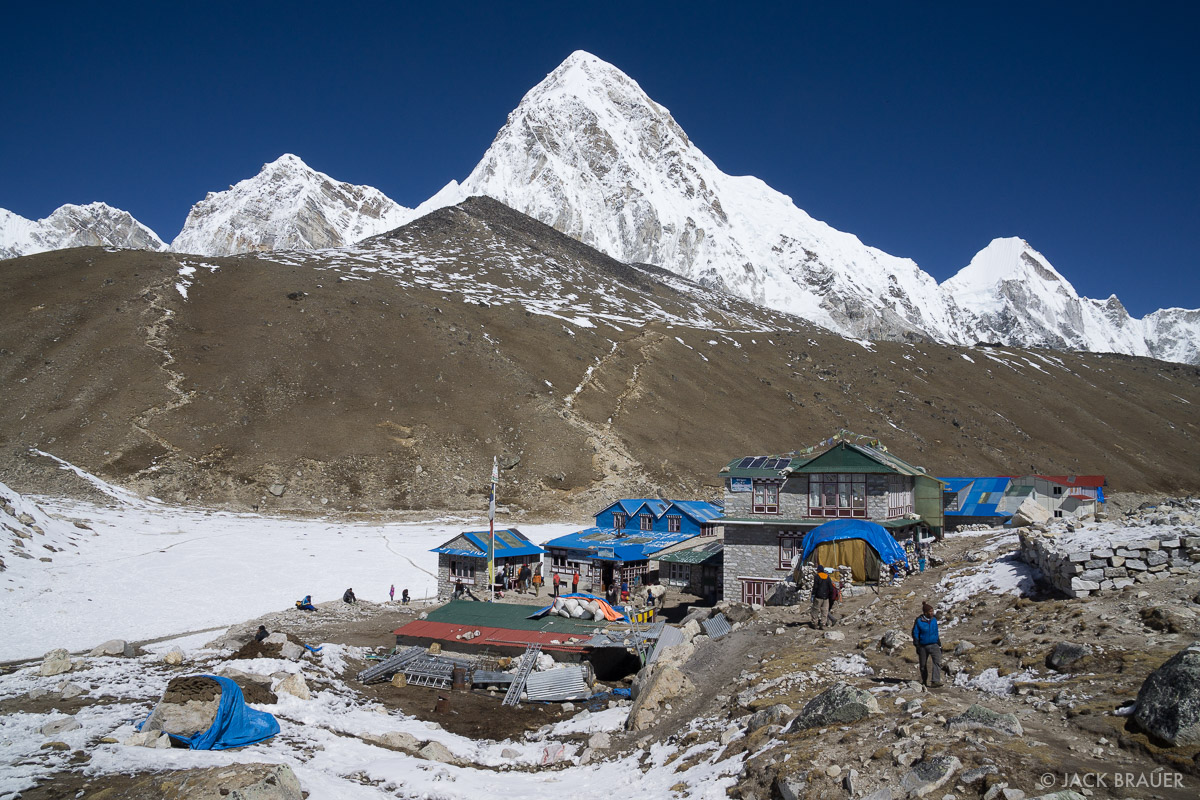
This is a fairly easy hike and should take about 3 hours. You can take a short side-trip and visit the Everest Pyramid, a weather station built by Italians. In Gorak Shep threr is a small, usually frozen lake. This village now has three lodges: Himalaya Lodge, Snowland Lodge and the Kala Pattar lodge. Gorak Shep will be your base to visit the Everest Base Camp (5380m/17650ft) and to climb the hill behind the lodges called Kala Patthar (5643m/18513ft) with great views of Mt. Everest and surrounding mountains.
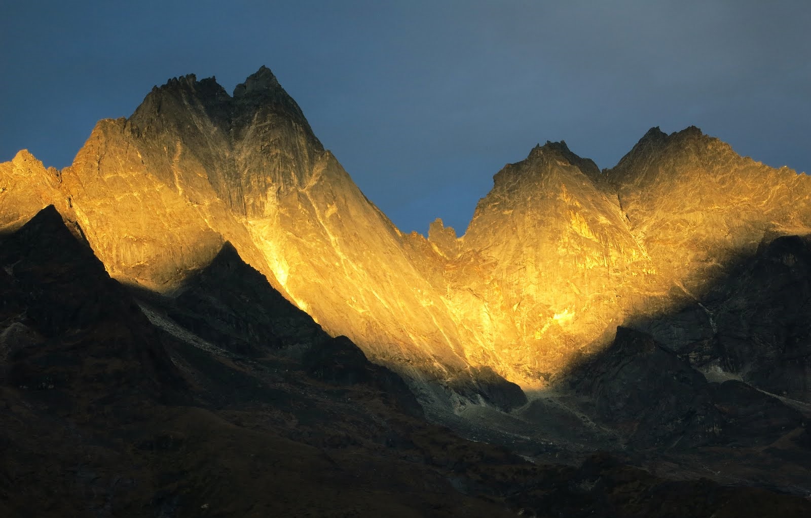
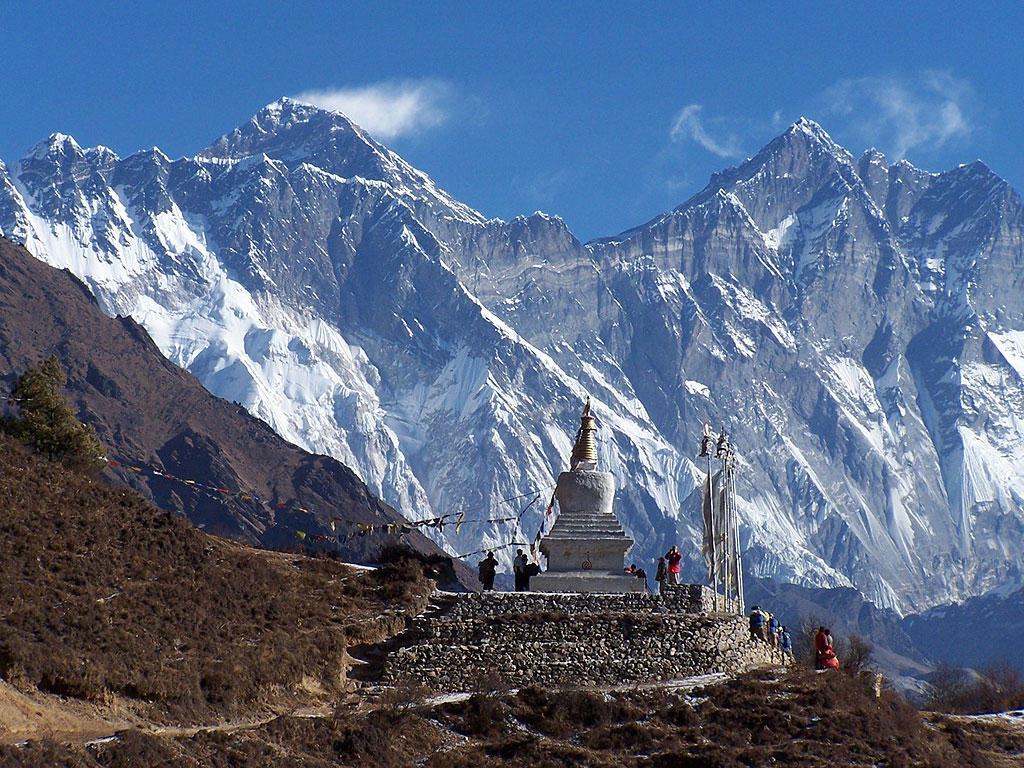
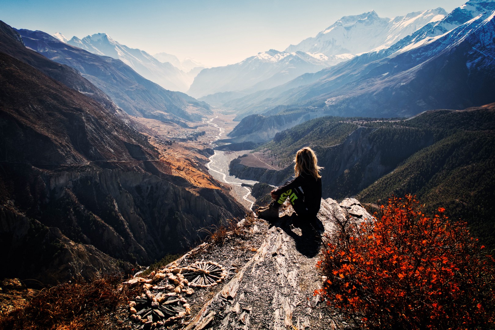
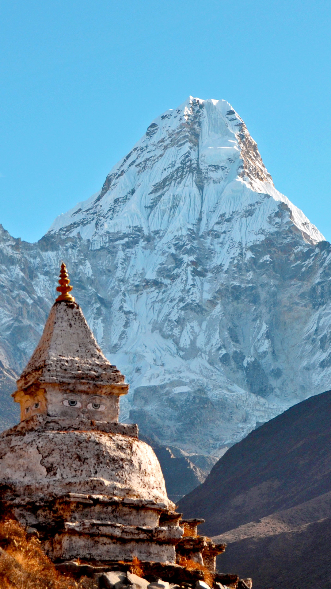
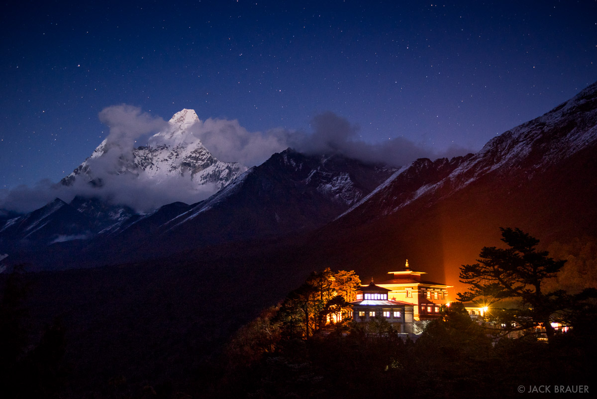
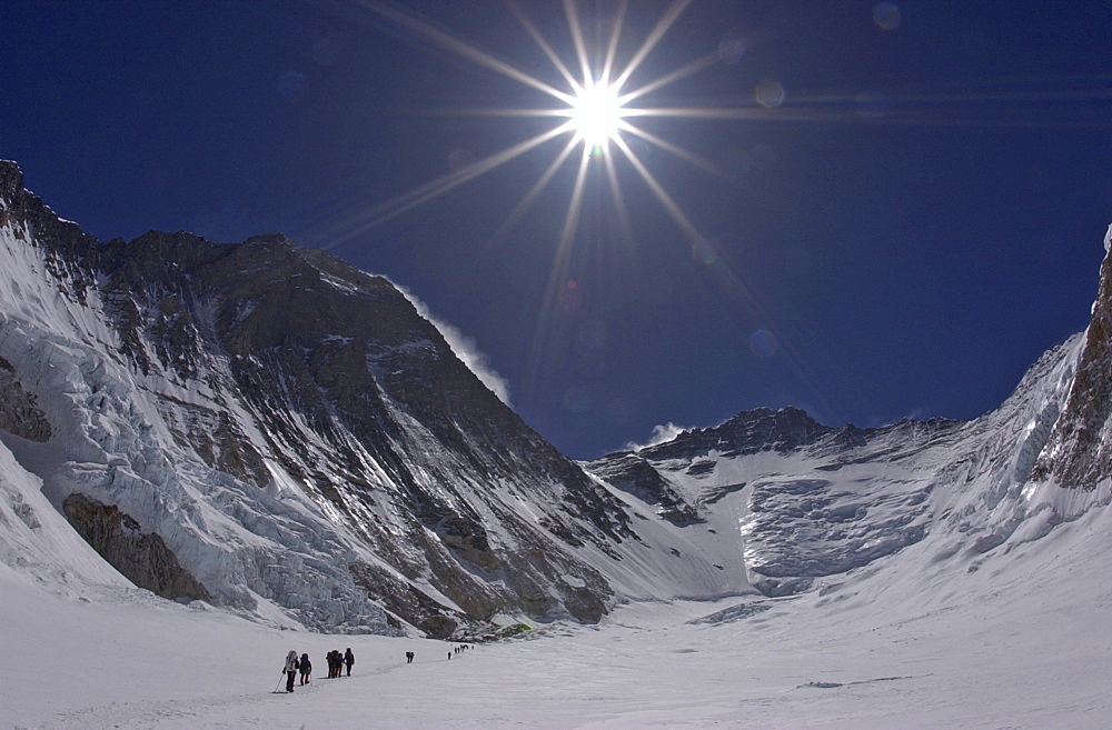
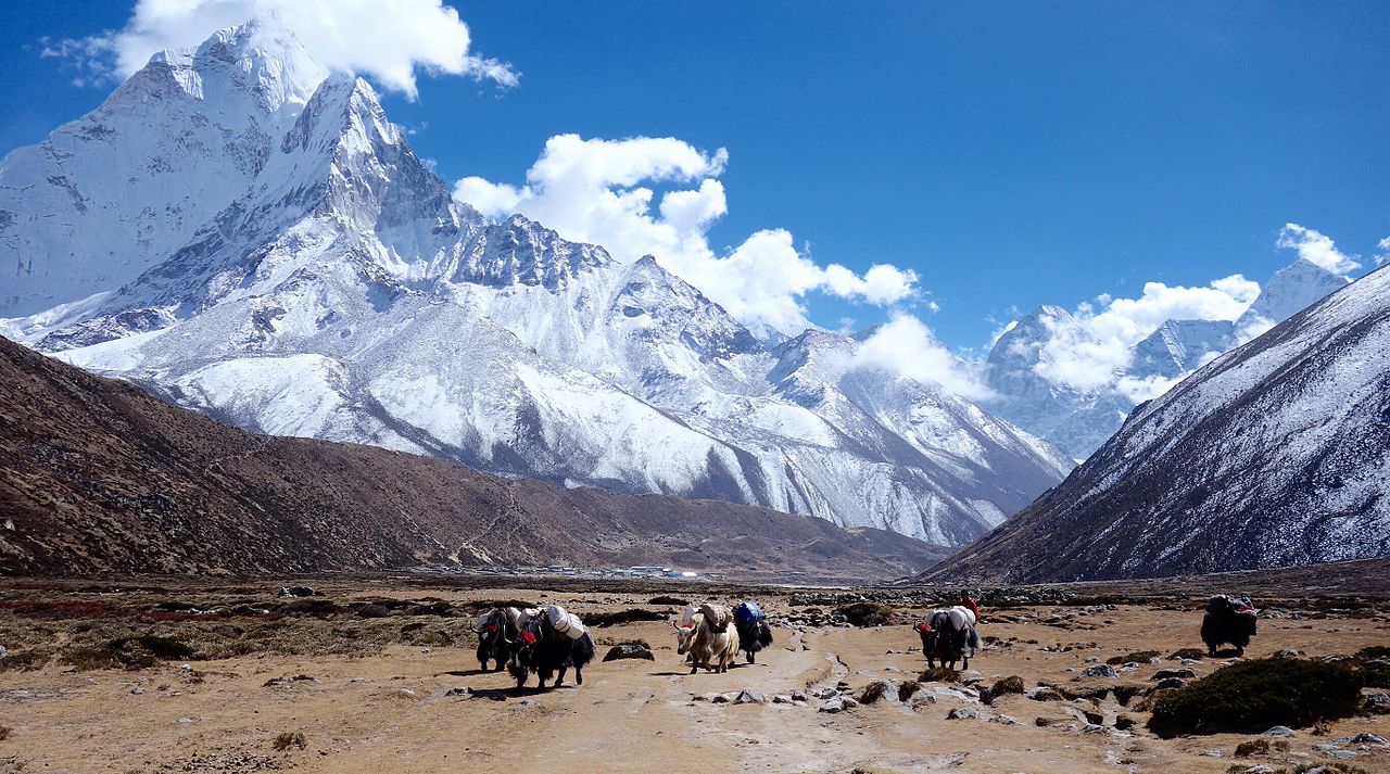
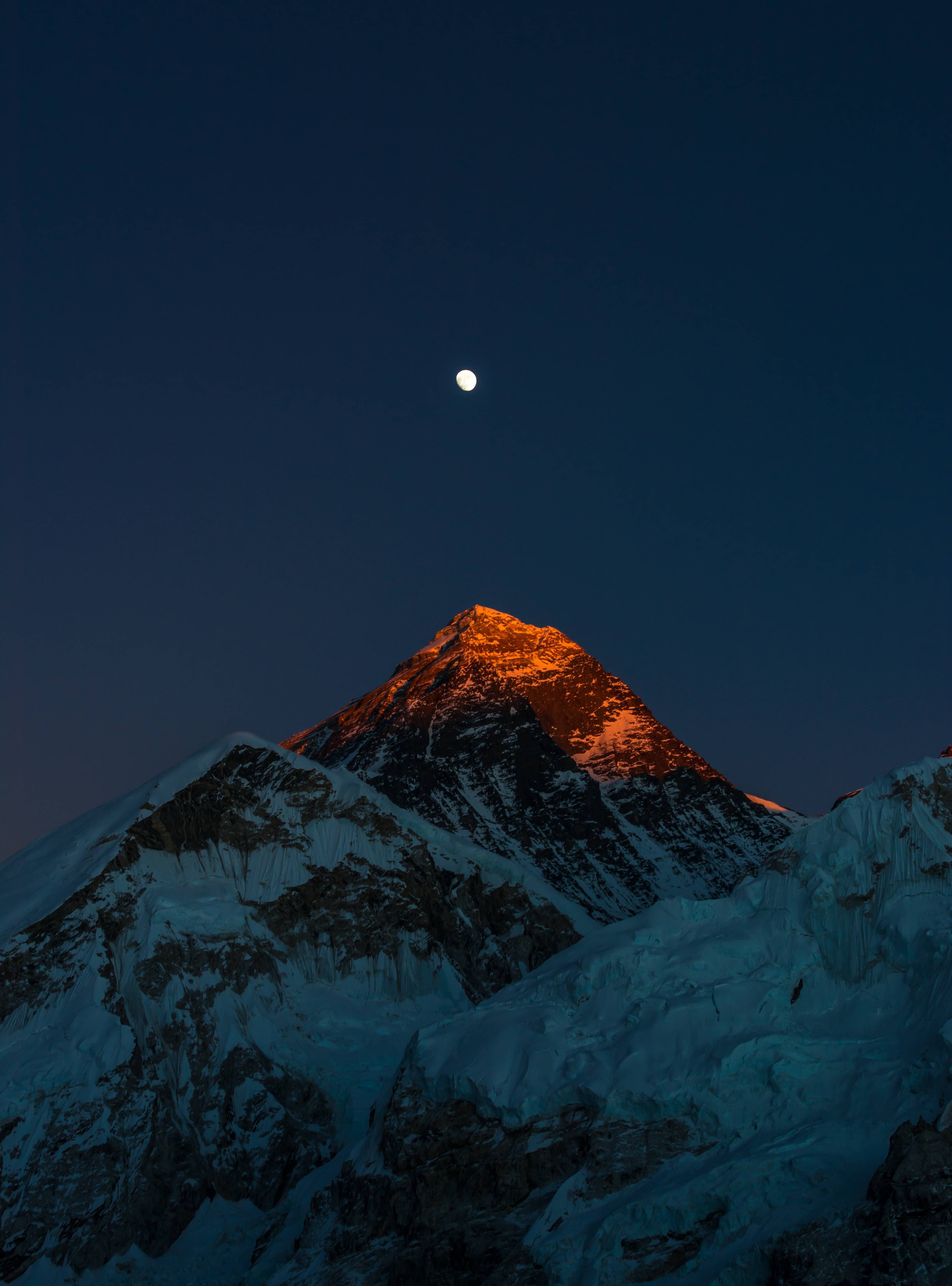
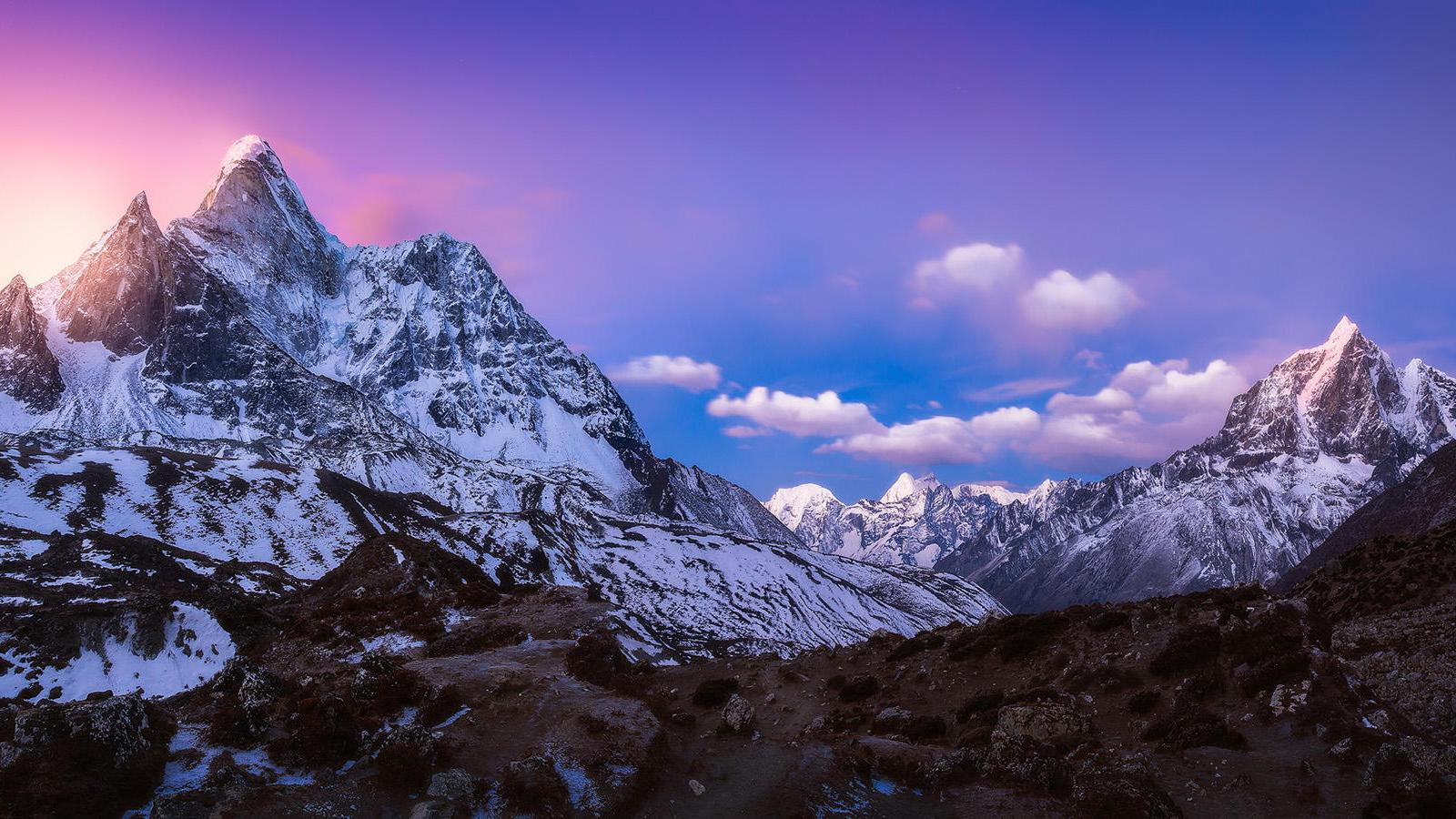
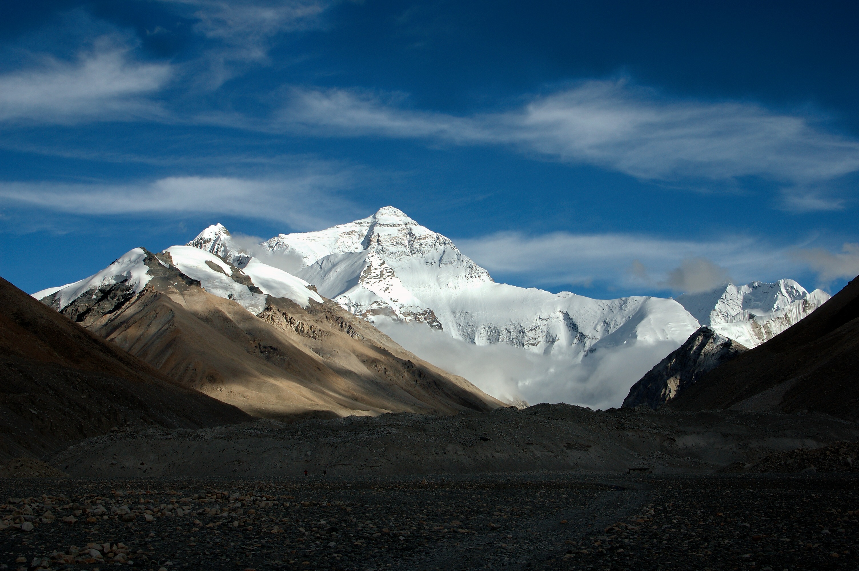
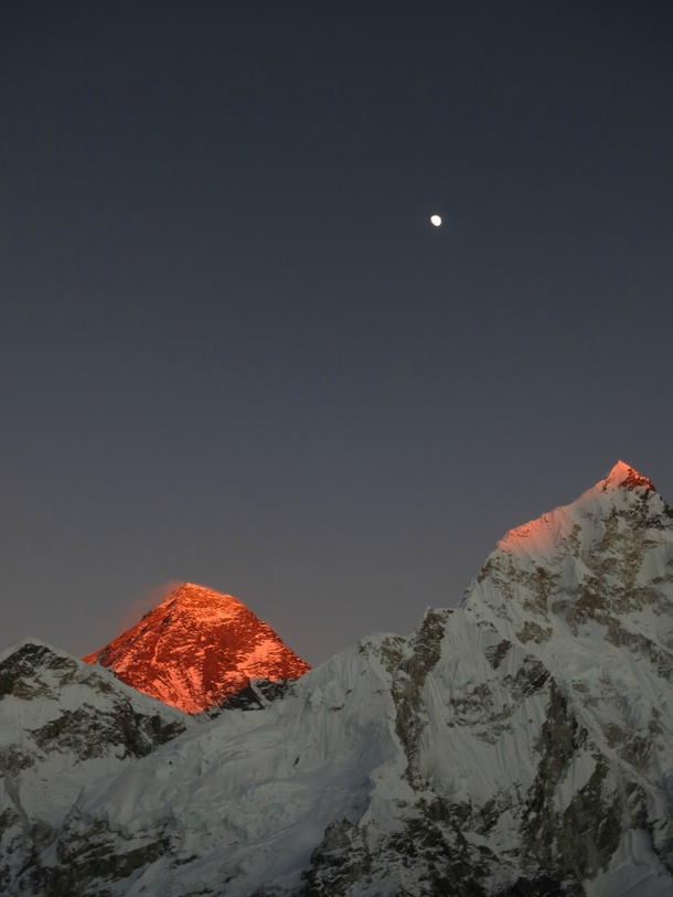
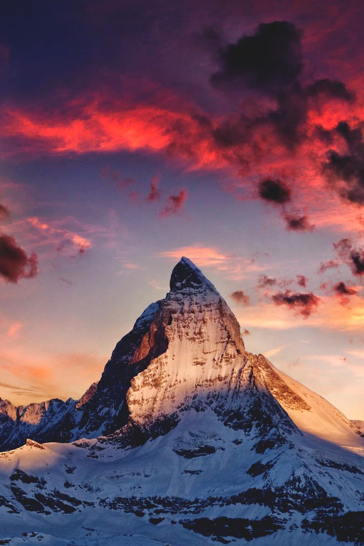
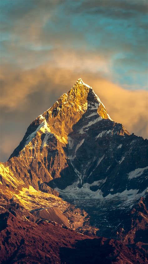
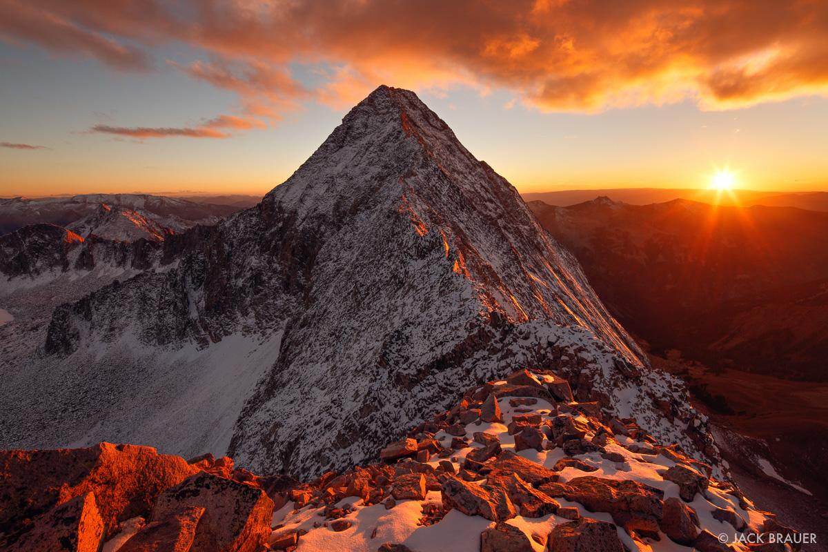
Below are some images of Mt.Everest you will fall in love with.
Day ten: Everest base camp/ Lobuche
Weather permitting, we’ll head out on the final climb to Everest Base Camp, tucked into the mountainside under the sparkling Khumbu Icefall. Return to Lobuje for the night. (9 miles hiking; 9-10 hours)